Maine Aerial Video & Photography
Establishing shots, site surveys, and dynamic perspectives for outdoor brands, production teams, and mission-driven projects.
Frequently Asked Questions
-
Regarding aerial work, I provide cinematic drone video production for filmmakers, aerial site surveys for land trusts, and high-resolution aerial photography that provides critical context for outdoor brands and environmental campaigns.
-
Yes. I am a Mavic 3 Cine owner/operator and I frequently work as a "second unit" aerial cinematographer for larger productions filming in Maine. I deliver 4K drone footage in flat log profiles (D-Log) or high-bitrate codecs, ensuring the files integrate seamlessly with your main camera package for professional documentary workflows.
-
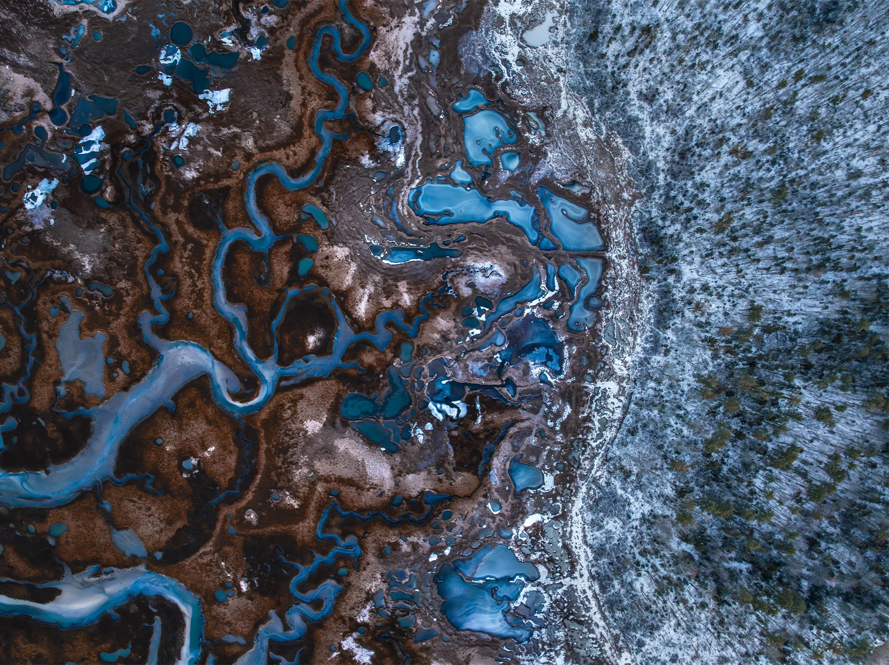
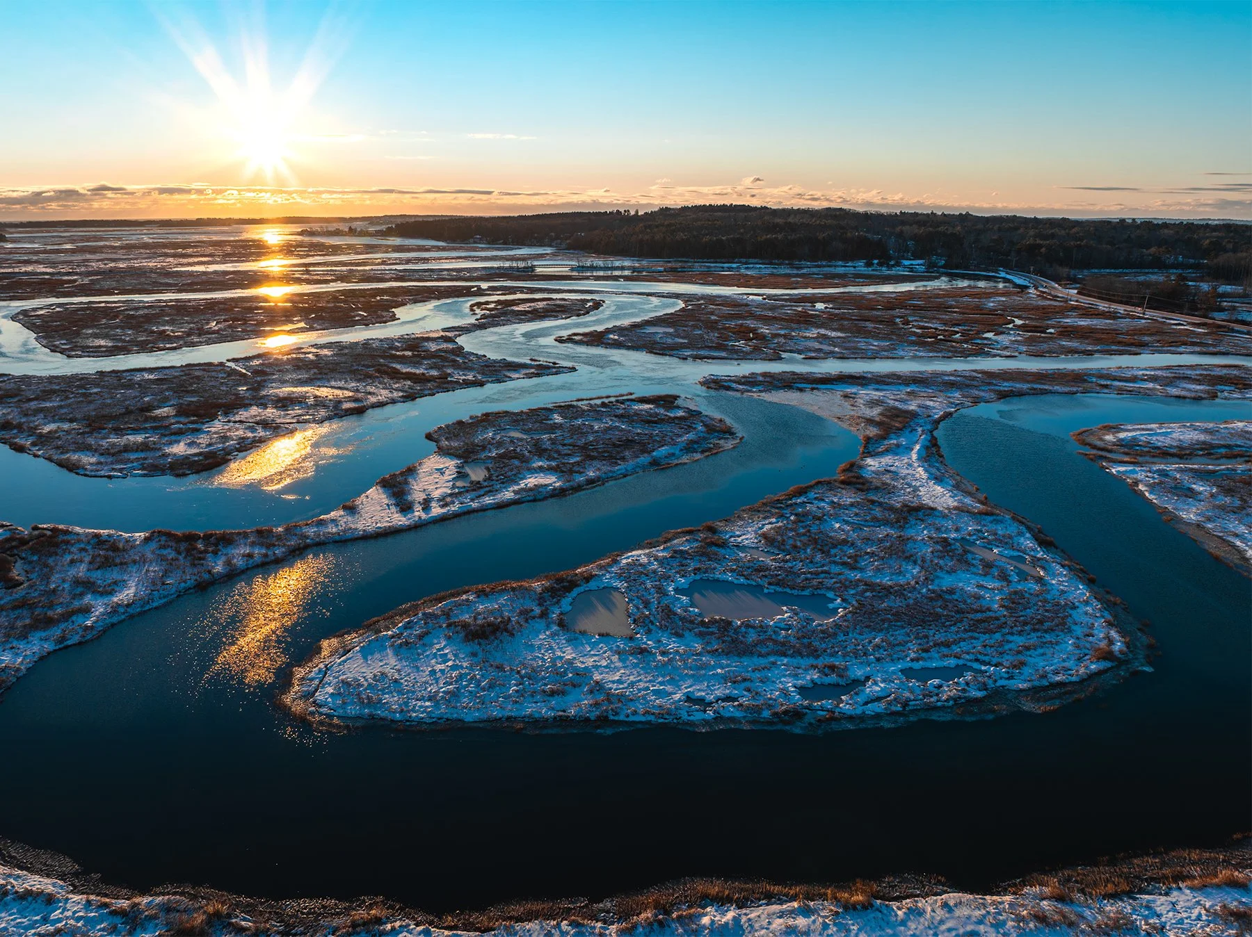
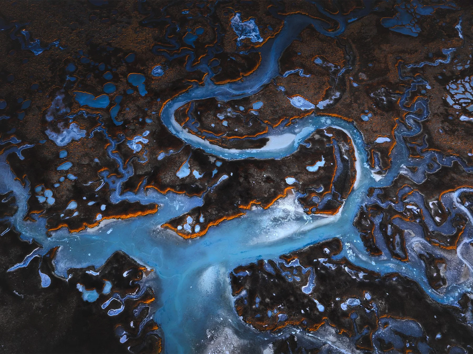
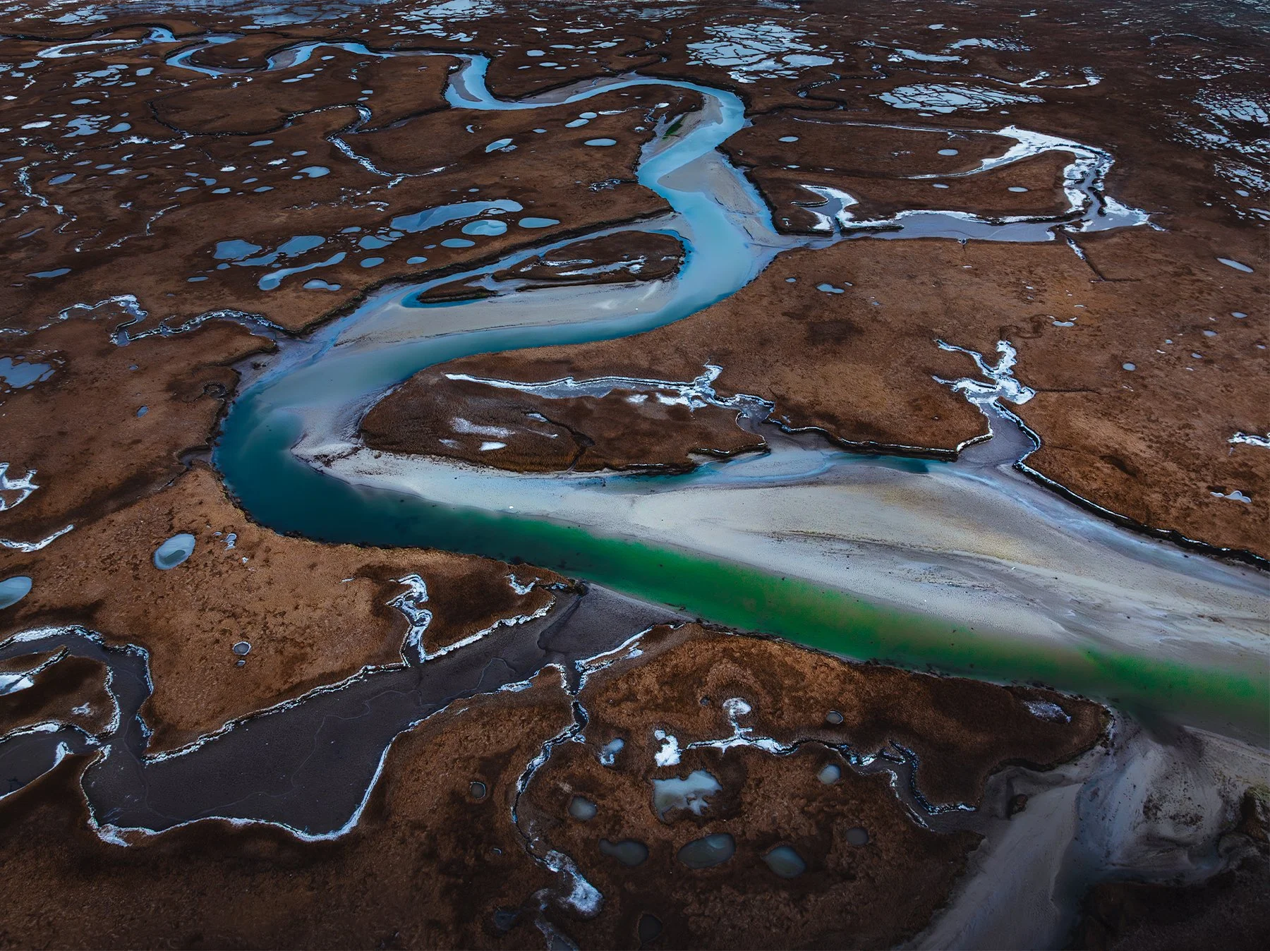
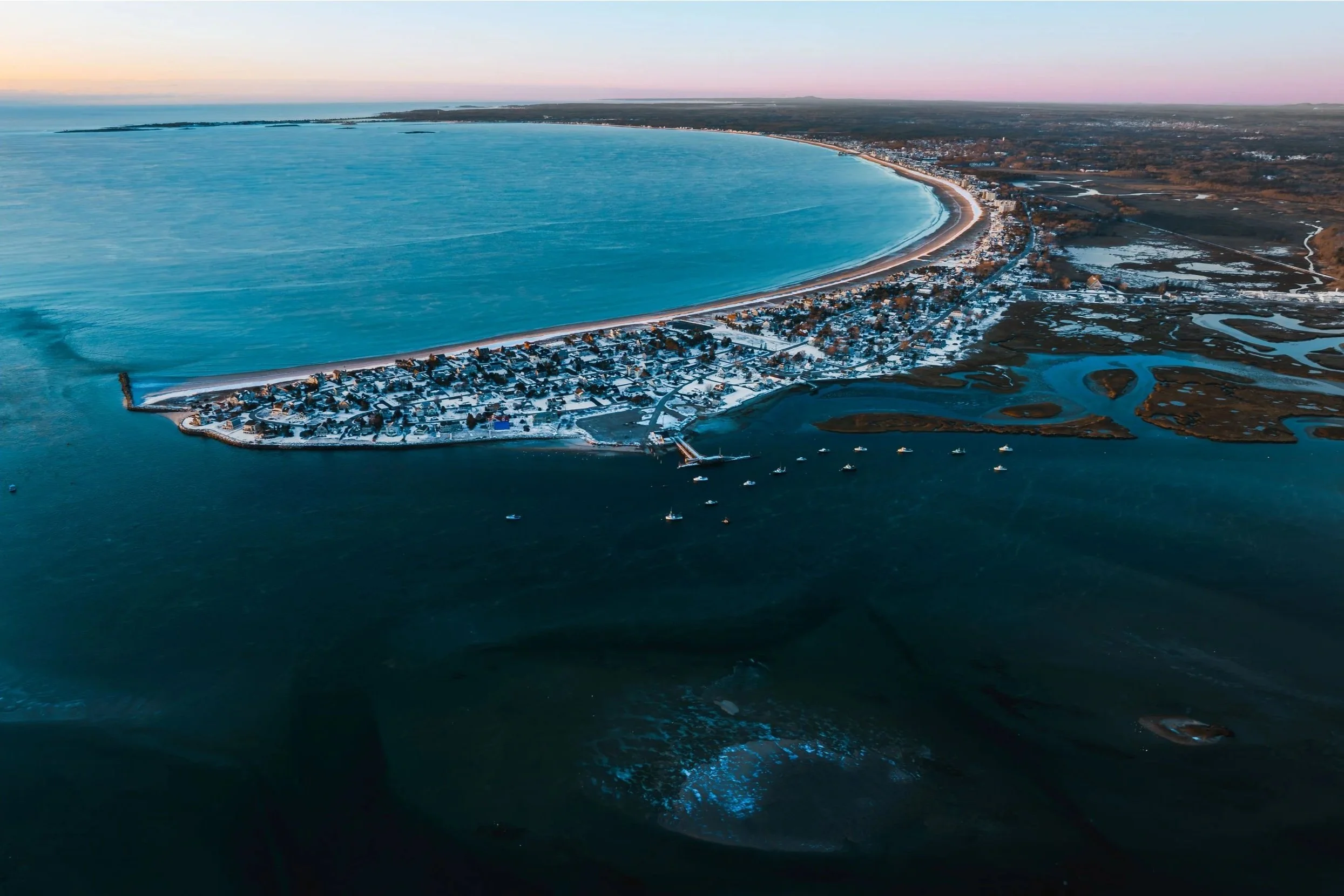
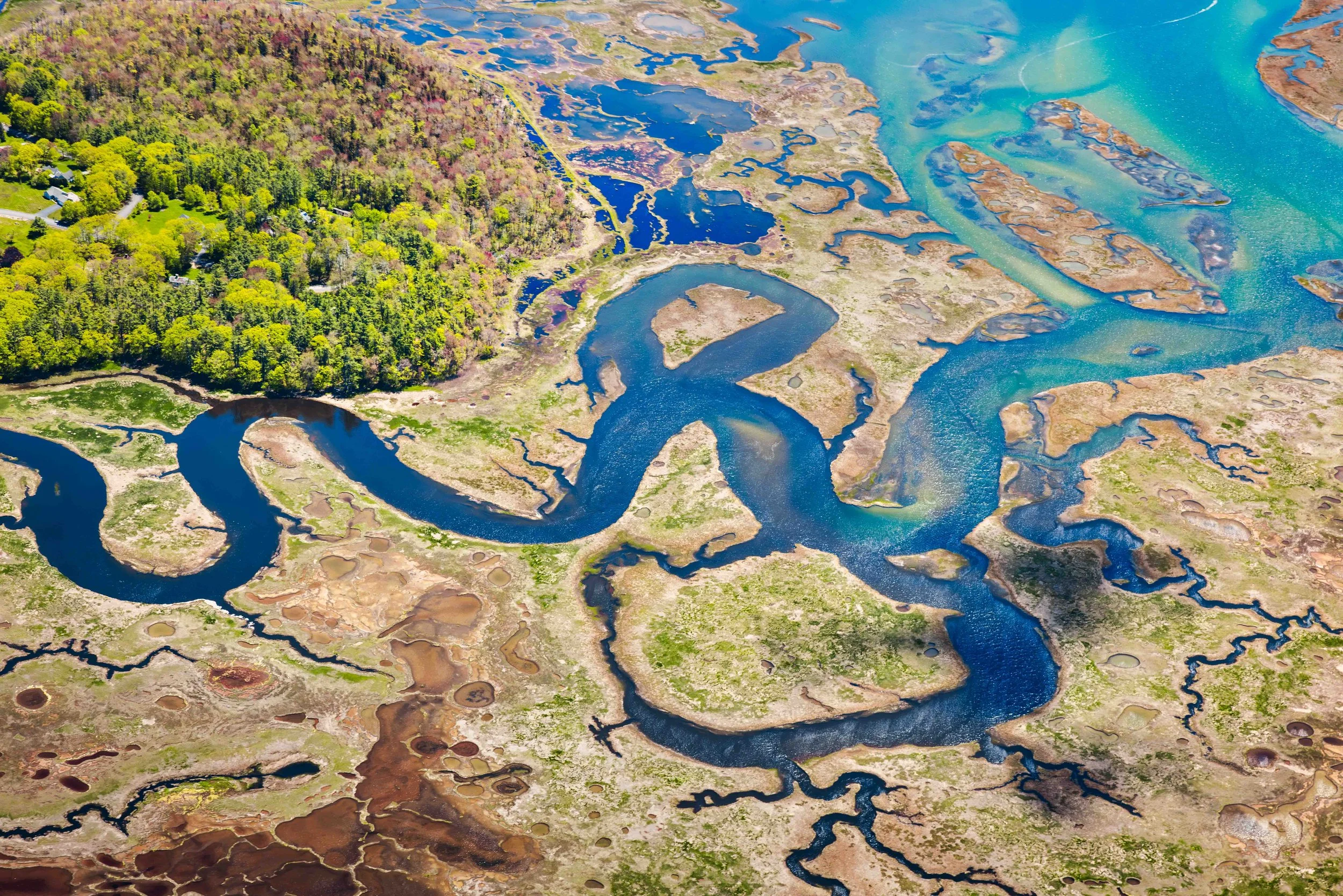
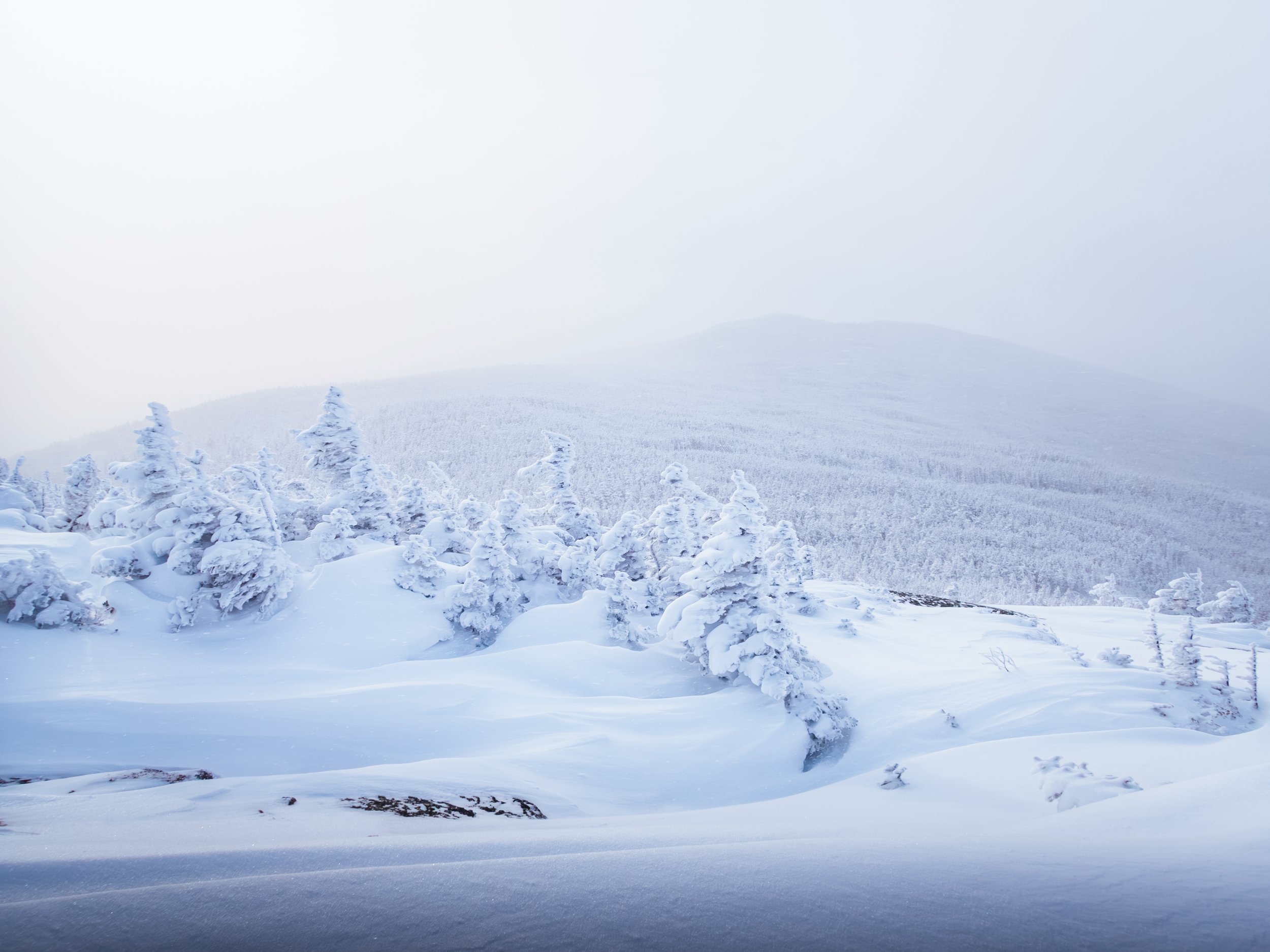
Beyond marketing visuals, I use aerial imaging as a tool for stewardship and science. This includes capturing landscape context to show contiguous habitats, documenting seasonal changes for restoration monitoring, and creating visual records of property boundaries for land trust annual reviews.
-
Yes. I hold an FAA Part 107 Remote Pilot Certification and carry commercial liability insurance for every flight. This ensures all commercial drone operations are conducted legally and safely, which is a strict requirement for working with government agencies, conservation nonprofits, and professional production teams.